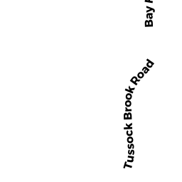
72 TUSSOCK BROOK RD
Owner Information
MURRAY JOHN D TT
72 TUSSOCK BROOK RD
DUXBURY, MA 02332


Property Details
72 TUSSOCK BROOK RD is classified as a Residential Condominium (Condominium).
The primary structure on this property was built in 1997. There are 3,968ft2 of built area within this property. There is 2,022ft2 of residential/living space within this property. This property is listed as having 5 rooms.
72 TUSSOCK BROOK RD is valued at $485,700. The land is valued at $0 and the structures are valued at $485,700.
The most recent deed for 72 TUSSOCK BROOK RD is recorded at the local registrar in Book 36831, Page 0253. 72 TUSSOCK BROOK RD was last sold on Monday, February 23, 2009 for $1.
Assessment data from fiscal year 2021.
Flood Data
According to the FEMA National Flood Hazard Layer, this property does not appear to be in a flood zone. It may also be in an area not yet reviewed. Nonetheless, confirm this information prior to taking any action.
To view the flood hazards around this property, create a FEMA "Firmette" Map of the area around 72 TUSSOCK BROOK RD.
Broadband Internet Providers
| Provider | Type | Bandwidth (mbps) | |
|---|---|---|---|
| VSAT Systems, LLC. | Satellite | 2 | 1 |
| Viasat Inc | Satellite | 100 | 3 |
| Verizon New England Inc. | DSL | 10 | 1 |
| Verizon New England Inc. | Fiber | 940 | 880 |
| Comcast | Cable | 1000 | 35 |
| GCI Communication Corp. | Satellite | 0 | 0 |
| HughesNet | Satellite | 25 | 3 |
Broadband service provider data from December 2020.
Adjacent Properties
- 83 TUSSOCK BROOK RD
Single Family Residential owned by WILLIS CLAYTON LEE - 63 TUSSOCK BROOK RD
Residential Condominium owned by CASAGRANDE DEBORAH LEE TT - 64 TUSSOCK BROOK RD
Residential Condominium owned by MCWILLIAMS KEVIN J - 65 TUSSOCK BROOK RD
Residential Condominium owned by CROWLEY JOHN P - 75 TUSSOCK BROOK RD
Residential Condominium owned by WALSH MARY E - 76 TUSSOCK BROOK RD
Residential Condominium owned by OTOOLE CAROL A - 77 TUSSOCK BROOK RD
Residential Condominium owned by BARLOW JACK L - 0 PARKS ST
Other, Open Space owned by BAY FARM ASSOCIATION TRUST